
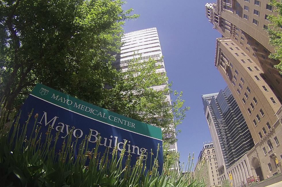
A Day Above Mayo Clinic in Rochester
Sure, we live here in the Med City, and many of us work downtown at one of the many Mayo Clinic buildings. But here's a look at our fair city from a vantage point you probably haven't seen before.
Thanks to Google Maps having made overhead satellite images readily available from pretty much any mobile device, it's much easier these days to check out what our city (or pretty much ANY city, really) looks like from above. But this video (which I'm guessing was shot using drones of some type), produced by Mayo Clinic Labs, goes a step further, and gives you a really cool look at downtown Rochester and the Mayo campus. Check it out...
More From Quick Country 96.5